
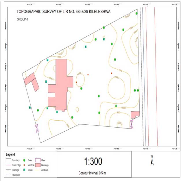
Topographical Surveys
The common title surveys involves the survey and marking of boundaries of a parcel of land to accuracies provided by the Survey Law and standards. A topographic survey on the other hand goes beyond just the survey of the boundary and involves the survey of all natural and man-made features on a parcel of land. Such features include: rivers, streams, fences, trees, buildings and any other improvement on the land. This type of survey focuses majorly on elevations of the features and measurements are captured using GPS instruments or Total Stations. The end result of this survey is a comprehensive map showing the features and contour lines on the map showing elevations.
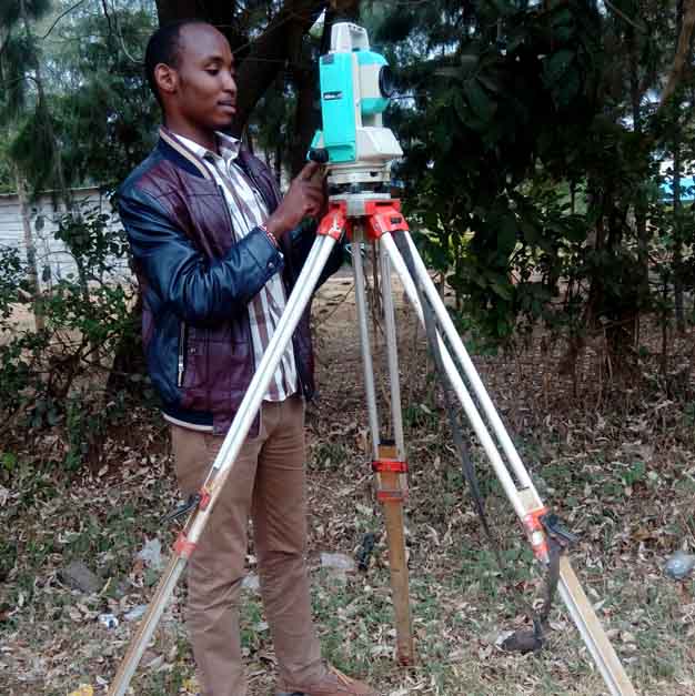
Our surveyors are well versed and equipped for this type of surveys and use modern GPS units and Total Stations to ensure accurate data collection, processing and output. Topographic surveys are vital for any construction and design works and thus our surveyors use sophisticated computer programs and provide digital elevation data that can be further manipulated by engineers and architects for planning.