
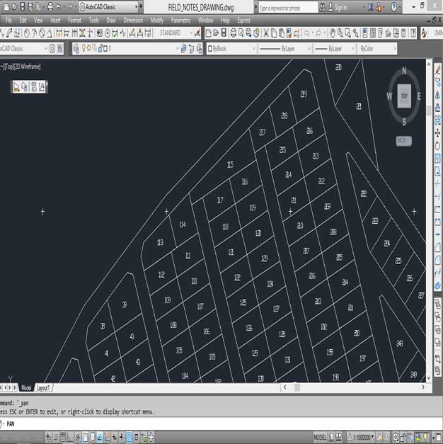
Title Surveys
Also referred to as boundary surveys, these type of surveys define the extent and limits of land owned by an individual or individuals for purposes of registration and the issuance of title deeds. In Kenya there are two types of Title Surveys: Fixed boundary survey and General Boundary surveys.
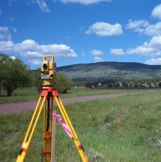
Fixed Boundary Survey. This type of survey demarcates a parcel of land accurately and is based on a network of accurate control points established rigidly and mathematically to ensure that any errors have been contained throughout the survey. The placement of survey marks on the subject land is regulated by the Survey Act. Currently, all lands previously registered under Land Title Act of 1901 (LTA), Government Land Act (GLA) and Registration of Titles Act (RTA) fall under fixed survey commonly referred to as cadastral survey.
General Boundary Survey. General boundaries are approximate boundaries whose positions have not been determined precisely as a fixed boundary. Such boundary might be a wall, hedge, and river or road centerline. Lands registered under the Registered Land Act (Cap 300 of 1963), Land Act and Sectional Properties Act fall under this type of survey.
Currently, the Land Registration Act No.3 of 2012 repealed 5 of the previous land registration statues namely; Land Titles Act (LTA), Government Land Act (GLA), Registration of Titles Act (RTA), Cap 281 of 1920 and Registered Land Act (Cap 300 of 1963). The main aim of the LRA is to revise, consolidate and rationalize the registration of titles to land, to give effect to the principles and objects of devolved government in land registration, and for connected purposes.
Our Land Surveyors at GeoPoint Geomatics Solutions are skilled, experienced and well informed regarding the systems of registration of land in Kenya and thus ensure title surveys are conducted in a professional manner and in conformity with the relevant statues.