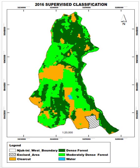
Remote Sensing Services
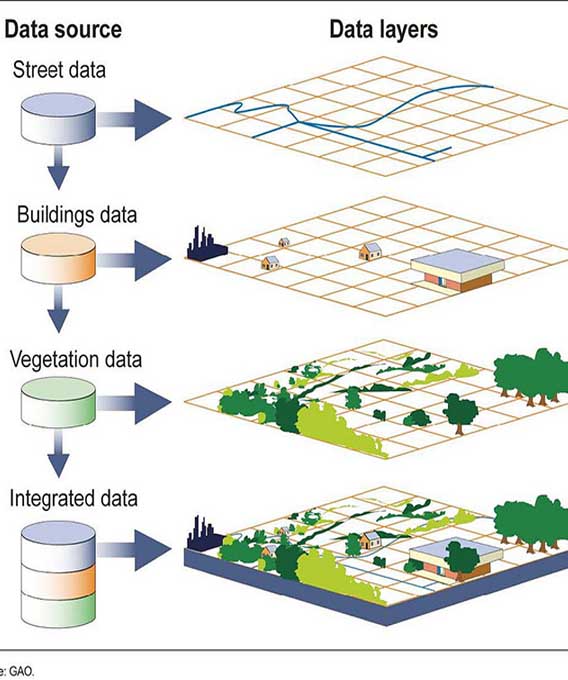
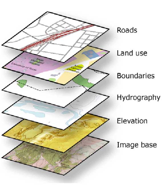
Remote sensing is the art of collecting data about objects or features on the earth’s surface without having physical contact with the objects/features. Remote sensing is achieved by the use of satellites, Aerial surveys, Unmanned Aerial Vehicles (UAVs) and processing software. Satellites in space revolve around the earth collecting information for various applications. Hardware and software components have been developed for the processing of satellite images to extract information and present end-products such as density maps and change detection maps.
Remote sensing has a variety of applications that include; forest cover mapping, agricultural mapping, urban planning, change detection, land use land cover classification, disaster detection, natural resources mapping and management. Satellite images cover a wide area of land and hence suitable for large-scale projects.
Our team of experts are highly trained in the use of remote sensing software such as ERDAS, ENVI and IDRISI KILIMANJARO. We are also experienced in satellite image classification, image correction, enhancement, processing and change detection to ensure that clients’ requirements are met.